البوصلة اليقظة لنقل المدارس.
توفر ترحيل بيانات GPS فورية وحدودًا جغرافية آلية لتحويل عمليات النقل المدرسي إلى تجربة شفافة وآمنة وسلسة.
النظام البيئي
دقة لكل صاحب مصلحة.
ولي الأمر
تخلّص من حيرة الصباح مع تتبع مباشر بمعدل 1Hz وتنبيهات القرب عندما تكون الحافلة على بعد كيلومتر.
المدرسة
واجهة خالية من التشتيت مع قوائم ركوب ديناميكية تتحدث فورًا عندما يسجل أولياء الأمور الغياب.
المنسق
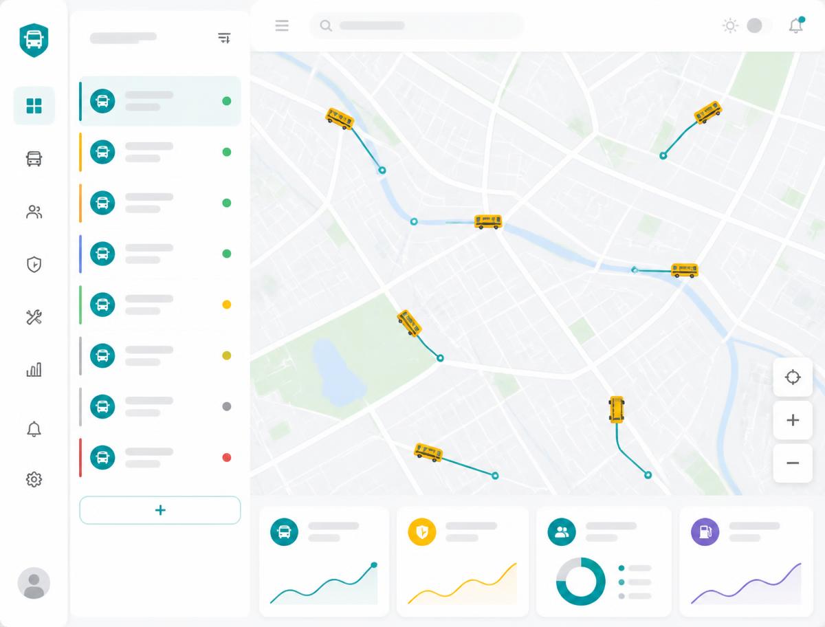
مركز قيادة لصحة الأسطول والامتثال الوثائقي وتحسين المسارات عبر آلاف الطلاب.
مراقبة الأسطول بدون تأخير.
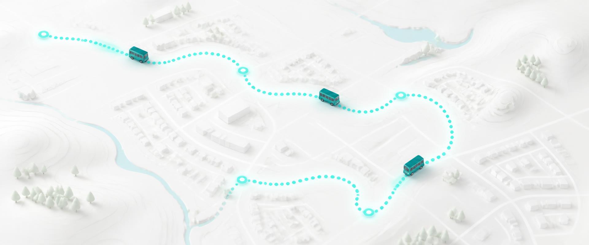
بينما تحدث الأنظمة التقليدية كل 30-60 ثانية، تنقل ترحيل الإحداثيات بمعدل 1Hz. تضمن هذه البيانات عالية التردد أن يكون موقع الحافلة على خريطة ولي الأمر دقيقًا حتى مترين.
تكامل OpenStreetMap
بيانات خرائط عالمية مجانية مع طبقات مخصصة للمدارس.
بيانات telemetry فورية
بث GPS بمعدل 1Hz مع اتجاه السير والسرعة وتصفية الحركة.